$155,000
Cushing, MN 56443
MLS# 6413875
Status: Closed

1 / 29


Property Description
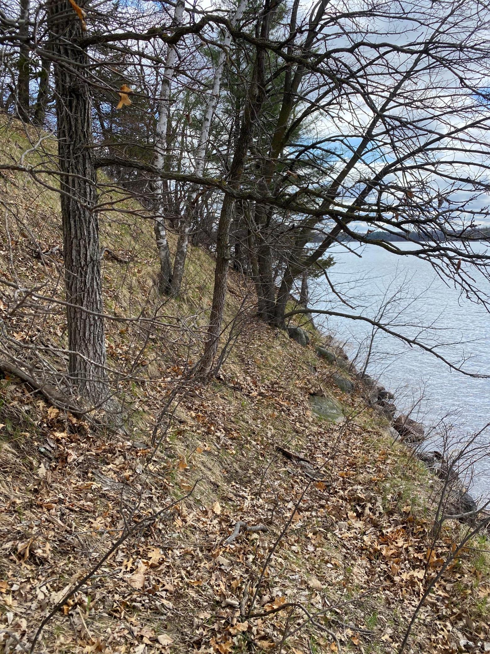
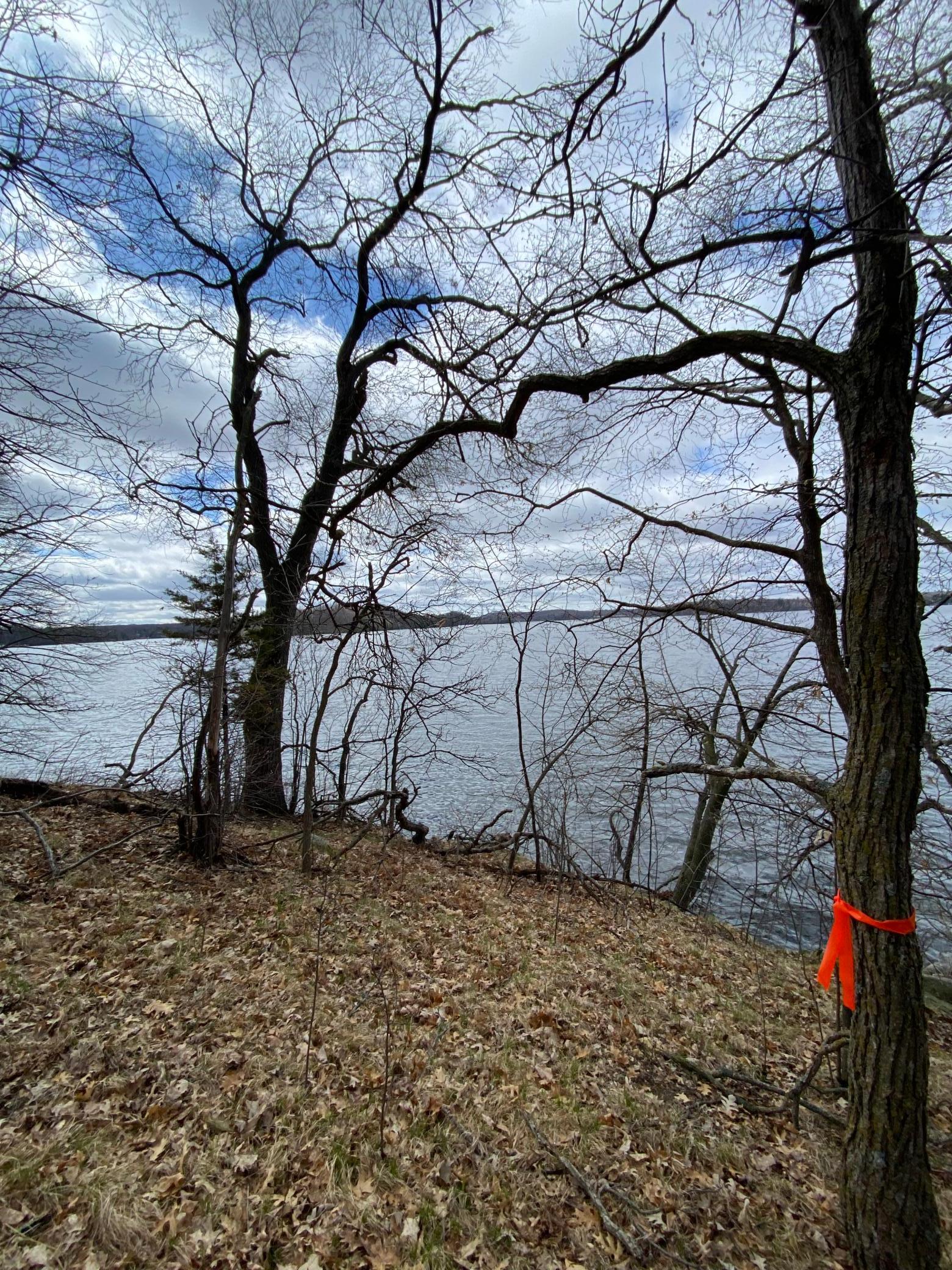
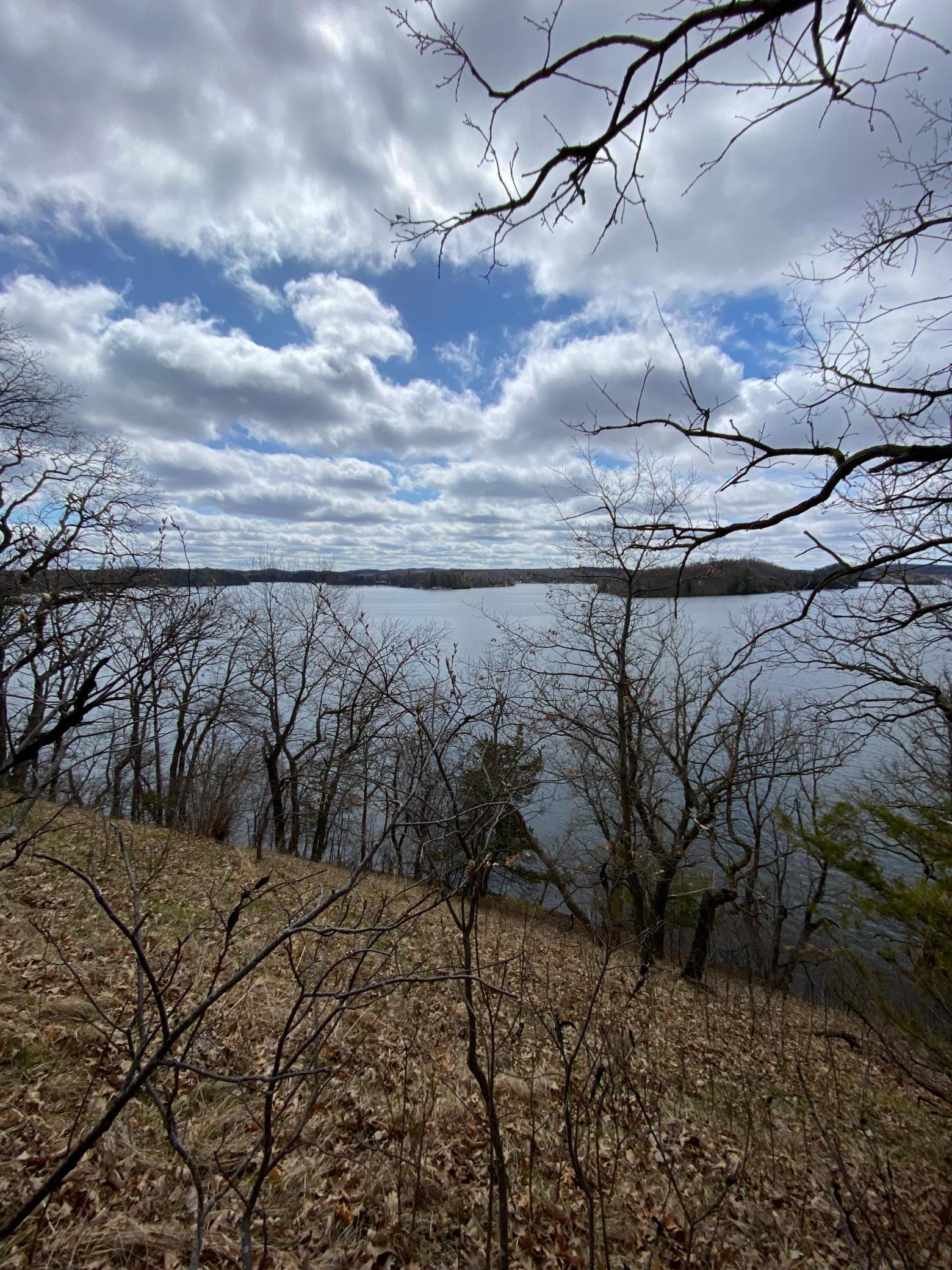
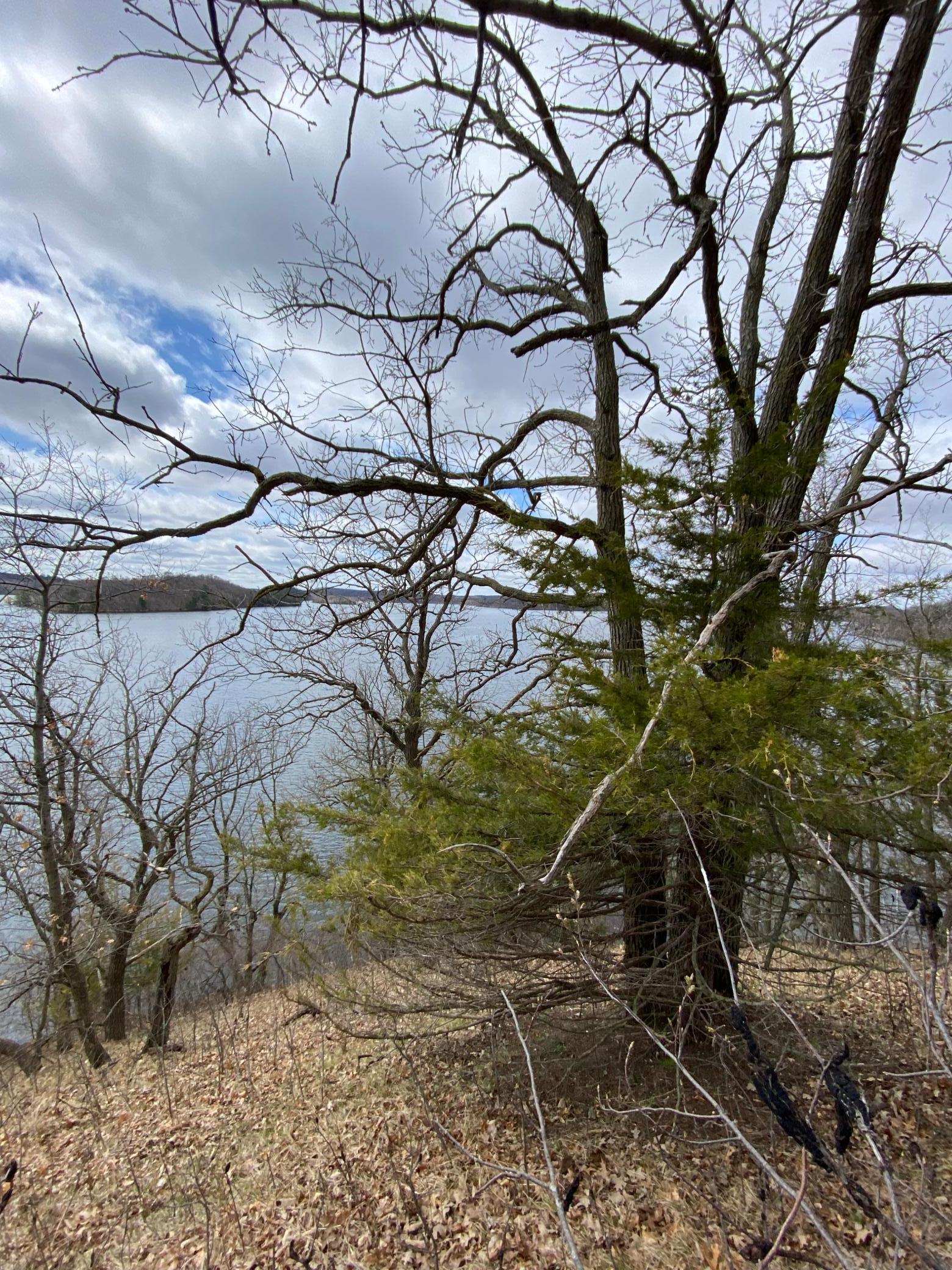
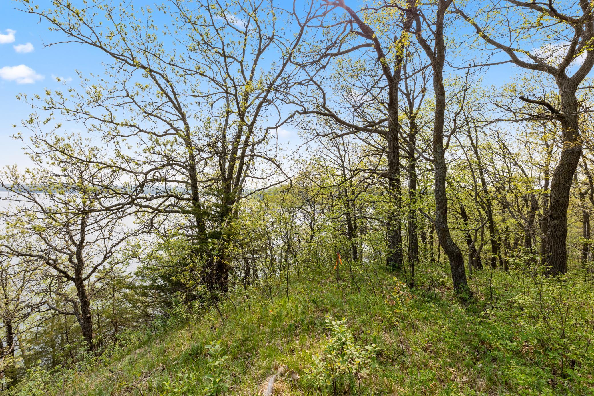
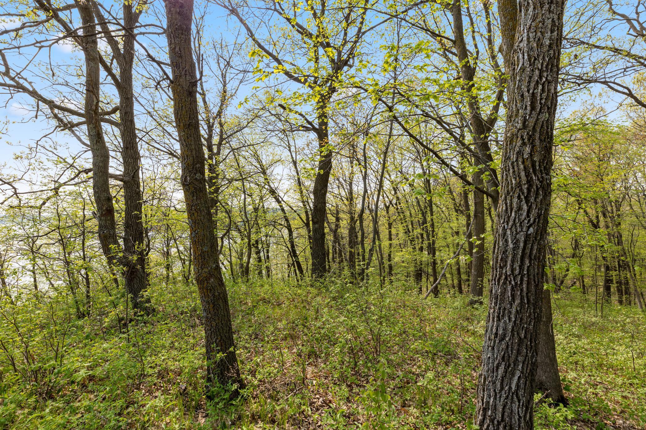
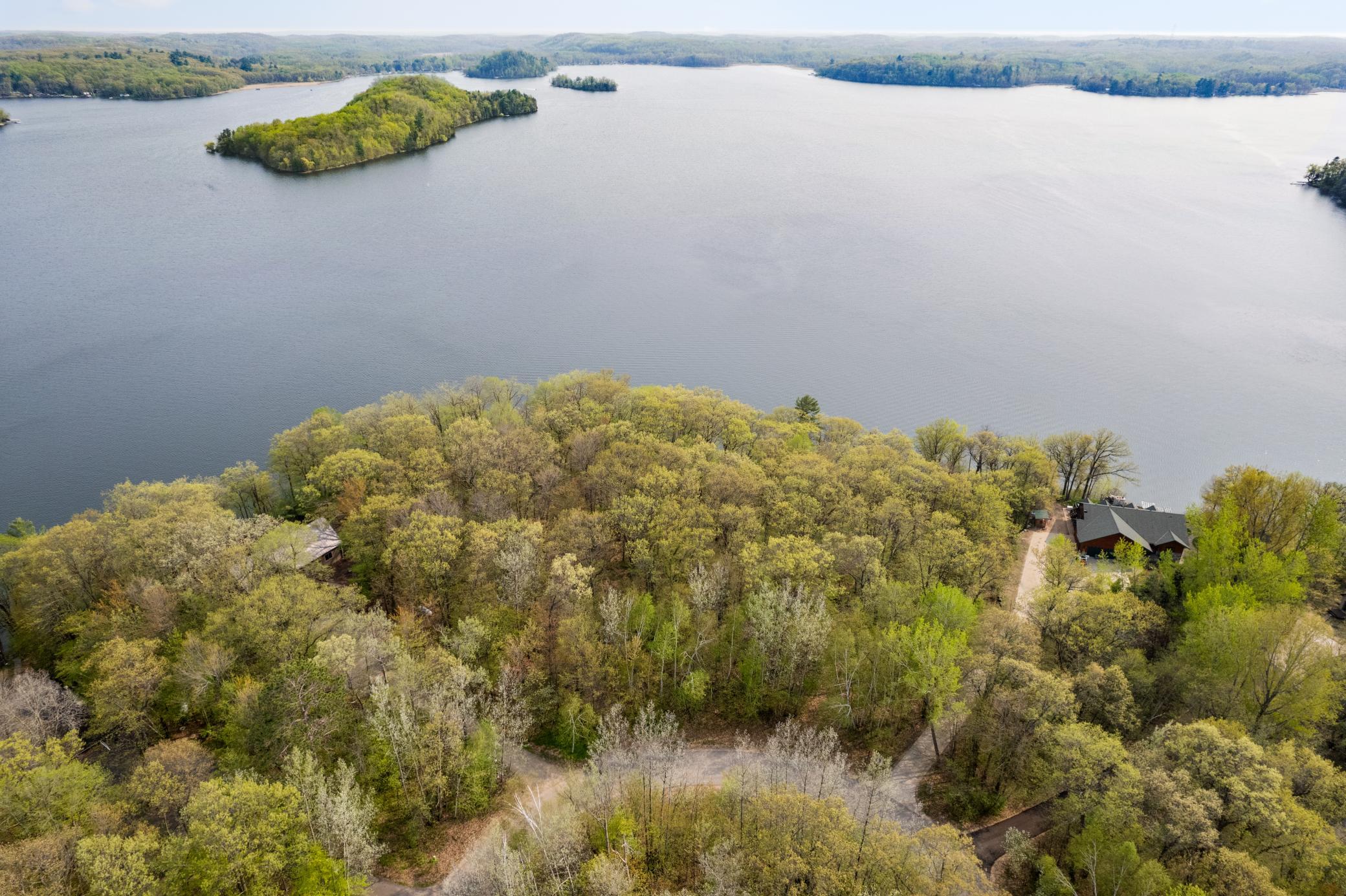
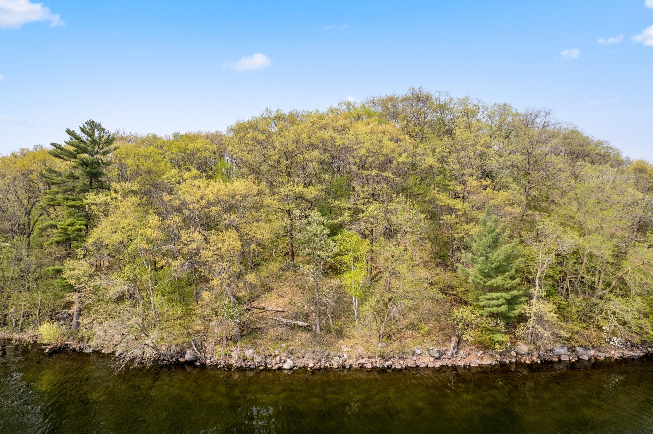
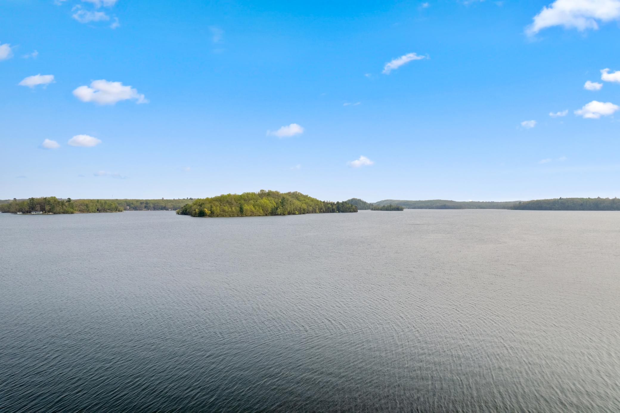
Newly surveyed and rare opportunity to own a lot on highly sought after Fish Trap Lake. Panoramic views of Big Island and of the lake. Southern exposure from the Northern shore of the lake. Property abuts 2 other parcels (Westerly and Easterly side) that are vacant at the present time. Neighboring homes have similar shoreline that is presently being used for recreational purposes.
Details
Documents
None
MLSID: RMLS
Contract Information
Digitally Altered Photos: No
Status: Closed
Off Market Date: 2024-04-11
Contingency: None
Current Price: $155,000
Closed Date: 2024-04-26
Original List Price: 185000
Sales Close Price: 155000
ListPrice: 165000
List Date: 2023-08-07
Owner is an Agent?: No
Auction?: No
Office/Member Info
Association: GLAR
General Property Information
Comp Sale YN: No
Development: No
Lot Measurement: Acres
Multiple PIDs?: No
Plat Recorded: No
Road Btwn WF & Home?: No
Waterfront Frontage: 165
Waterfront Present: Yes
Yearly/Seasonal: Yearly
Zoning: Shoreline, Residential-Single Family
Lot Dimensions: 297 x 165 x 278 x 52
Acres: 0.96
Lake/Waterfront Name: Fish Trap
Assessment Pending: Unknown
Location, Tax and Other Information
AssocFeeYN: No
Legal Description: SECT- TWP- RANGE- LOT 007 BLOCK 001 OF THE SUMMIT
Listing City: Cushing
Map Page: 999
Municipality: Cushing
Rental License?: No
School District Phone: 218-894-2430
House Number: 2XXX
DNR Lake ID#: 49013700
Street Name: Summit
DNR Lake Classification: General Development
Street Suffix: Drive
Lake Chain: N
Postal City: Cushing
County: Morrison
State: MN
Zip Code: 56443
Zip Plus 4: 7666
Property ID Number: 292570000
Complex/Dev/Subdivision: The Summit
Tax Year: 2023
In Foreclosure?: No
Tax Amount: 1412
Potential Short Sale?: No
Lender Owned?: No
Directions & Remarks
Public Remarks: Newly surveyed and rare opportunity to own a lot on highly sought after Fish Trap Lake. Panoramic views of Big Island and of the lake. Southern exposure from the Northern shore of the lake. Property abuts 2 other parcels (Westerly and Easterly side) that are vacant at the present time. Neighboring homes have similar shoreline that is presently being used for recreational purposes.
Directions: From Highway 10 take 320th East to Summit Drive. Take right on Summit, property is signed.
Assessments
Tax With Assessments: 1472
Builder Information
Builder Restrictions: Open
Elevation Highpoint to Waterfront Feet
Elevation Highpoint Waterfront Feet: 26-40
Lake Details
Lake Acres: 1163
Lake Depth: 42
Lease Details
Land Leased: Not Applicable
Miscellaneous Information
Homestead: No
Ownership
Fractional Ownership: No
Property Features
Available Utilities: Electricity Available; None Connected
Development Status: Raw Land
Elevation Highpoint to Waterfront Slope: Steep
Existing Financing: Free and Clear
Financing Terms: Conventional
Improvements: Paved Streets; Public Road
Lake Details: Gravel; Hard; Sand; Undeveloped
Lake/Waterfront: Lake Front
Land Inclusions: None
Lot Description: Accessible Shoreline; Tree Coverage - Heavy
Restriction/Covenants: Deed Restrictions; No Mobile Homes; Other Covenants
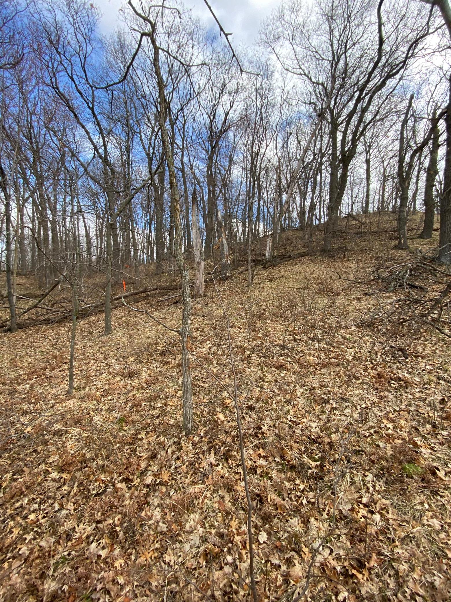
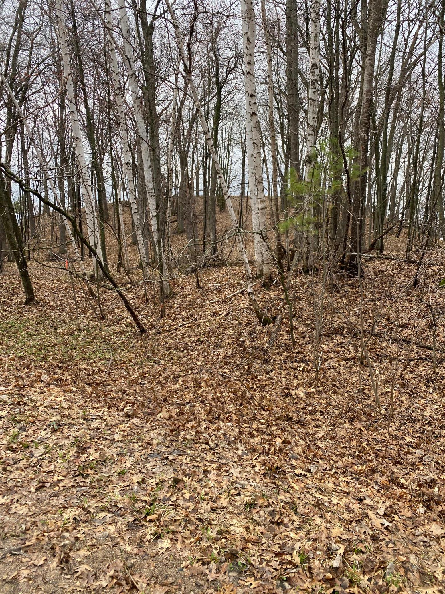
Topography: Wooded; Hilly
 Scanned Survey.pdf
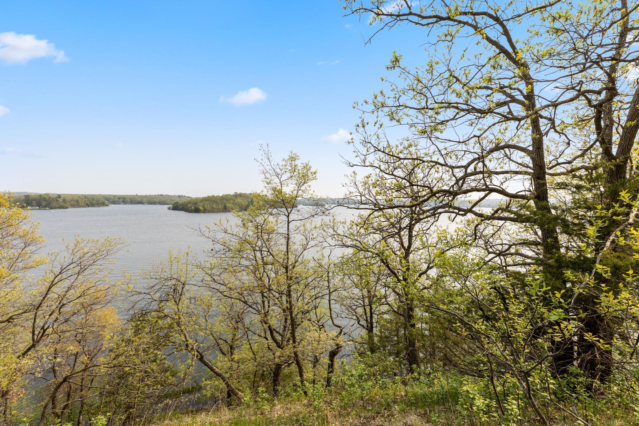
Listing Office: Edina Realty, Inc.
Last Updated: April - 29 - 2024

The listing broker's offer of compensation is made only to participants of the MLS where the listing is filed.
The data relating to real estate for sale on this web site comes in part from the Broker Reciprocity SM Program of the Regional Multiple Listing Service of Minnesota, Inc. The information provided is deemed reliable but not guaranteed. Properties subject to prior sale, change or withdrawal. ©2024 Regional Multiple Listing Service of Minnesota, Inc All rights reserved.